![]() By Nic Loyd, WSU meteorologist, and Linda Weiford, WSU News
By Nic Loyd, WSU meteorologist, and Linda Weiford, WSU News
A rare weather phenomenon flashed and boomed over parts of the Palouse last Thursday night. Lightning and thunderclaps accompanied tumbling snowflakes in what meteorologists call a thundersnow.
The Nov. 16 event moved through areas including Moscow and Pullman within a 10-minute time period. Though brief, it presented an enthralling, seldom-seen show.
As the thundersnow moved into Pullman at 9:37 p.m., heavy rain was falling and previously calm winds had gusted to 28 mph. By 9:40 p.m., a rain and hail downpour dropped visibility to 1.75 miles, compared to the standard “clear” value of 10 miles.
By 9:48 p.m., the show was in full force.
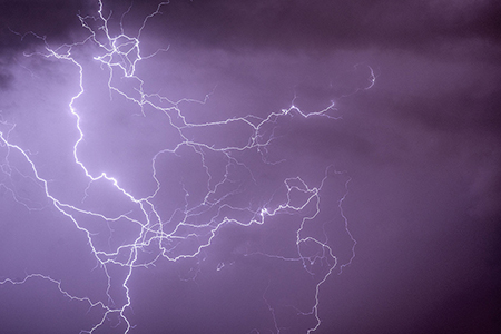
Bursts of light and rumbling thunder disrupted the quiet as many residents prepared for bed. Yanking back curtains or stepping outside, they experienced winter’s version of a summertime occurrence: Thunder and lightning combined with howling winds and a mix of snow and hail.
How did this happen? A precise convergence of circumstances involving layers of warm and cold air. The air closer to the ground was warmer than the layers above — but still cold enough to create snow. Also present was moisture from clouds and thermal instability.
Although thundersnow usually portends heavy snowfall, not this one. With temperatures in the mid-to-upper 30s, it was too warm. When we awoke Nov. 17, the only remnant of what we saw and heard the night before was a winter dusting on the ground.
Speaking of which, with the exception of the mountains, we probably won’t see more snow by Thanksgiving. Seattle, Spokane, Pullman-Moscow — you name it — all can expect more cloudiness, rounds of rain, warmer temperatures and plenty of breeze.